2024 West Woods Classic-O | West Woods Park in Geauga County | Saturday, February 10, 2024
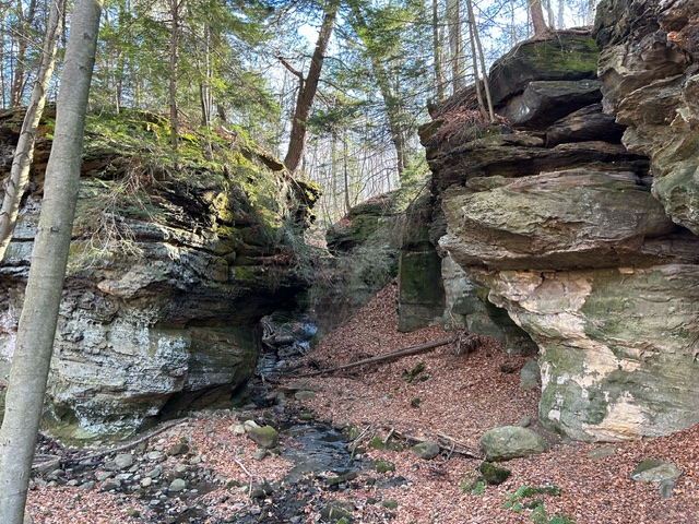
2024 West Woods Classic-O | West Woods Park in Geauga County | Saturday, February 10, 2024
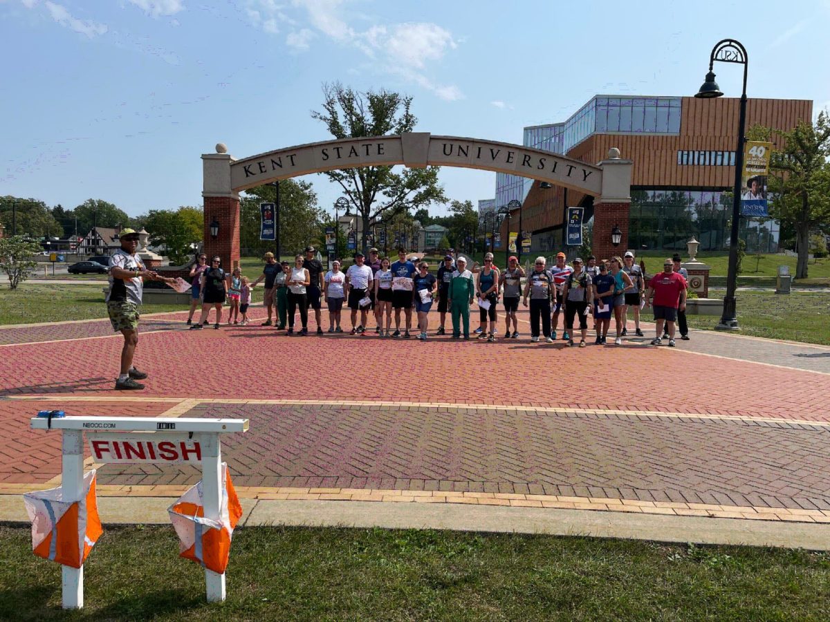
Recap The inaugural Kent State Black Squirrel event was a great success! Thank you to all who participated. Based on the feedback, it seems that everyone enjoyed the beautiful Kent State campus, pizza, maybe a beverage, and running around in the hot sun. Some examples of feedback received: “That was really fun! Looking forward to […]
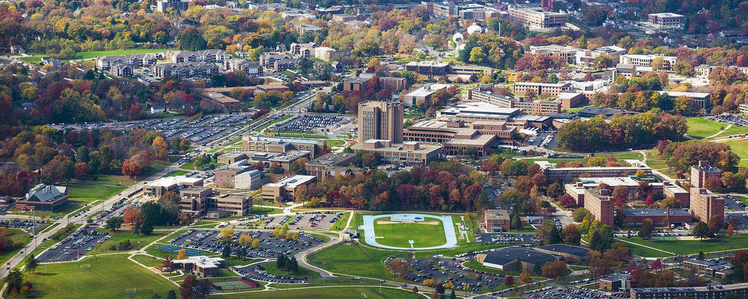
Cancelled per KSU, we hope to re-schedule soon. Calling all map freaks! Help create a detailed map of central campus that depicts building outlines, road, sidewalks, sculptures, trees and boulders. This unlabeled map will be used for an upcoming series of map navigation challenges open to all. But first, a multitude of details must be […]

Recap The first orienteering event ever held at the newest Stark Park, the Fry Family Farm, showed the sport’s wide appeal. Forty-one participants, from those less than 5 years old, to those more than 70; from those who ran at an impressive “5K-worthy” speed, to those who strolled at a scenic hiker’s pace; from sole […]
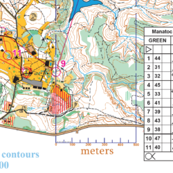
Join NEOOC’s mapping guru Bob Boltz and a few others to learn more about course design, and what it takes to prepare great, but appropriately challenging, maps for all participants – from beginner to advanced orienteers. Topics will include basic design principles, designing for the beginner and advanced orienteer, and how to check your design for trouble areas. You’ll learn how to use Purple Pen, a course design software, as part of the workshop.
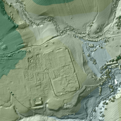
For the past 18 years, the U.K.’s Environment Agency has used a remote sensing methodcalled LIDAR (short for Light Detection and Ranging) to scan and map 72 percent of England’s surface. The 3D terrain images are used to monitor changing coastlines and model floods. But the maps recently revealed something else: an exciting archaeological find. Within the images, experts spotted miles upon miles of ancient Roman roads that may date back as far as the first century CE. Click to read more…