** UPDATE **
The Snow-O has been re-scheduled for Saturday February 3rd, 2018.
ABOUT
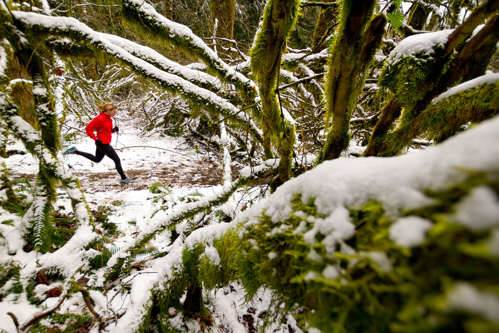
Join us at beautiful Camp Manatoc for classic orienteering in what we hope will be some snow and a bit cold… don’t worry – the classic distances will keep you warm!
The event will feature a new way to start, inspired by some of the out-of-state competitions a few of us have attended in the past year. The start triangle will be about 400 meters walk from registration, with some mild elevation. The finish will include a GO-control, with associated sprint to the finish control.
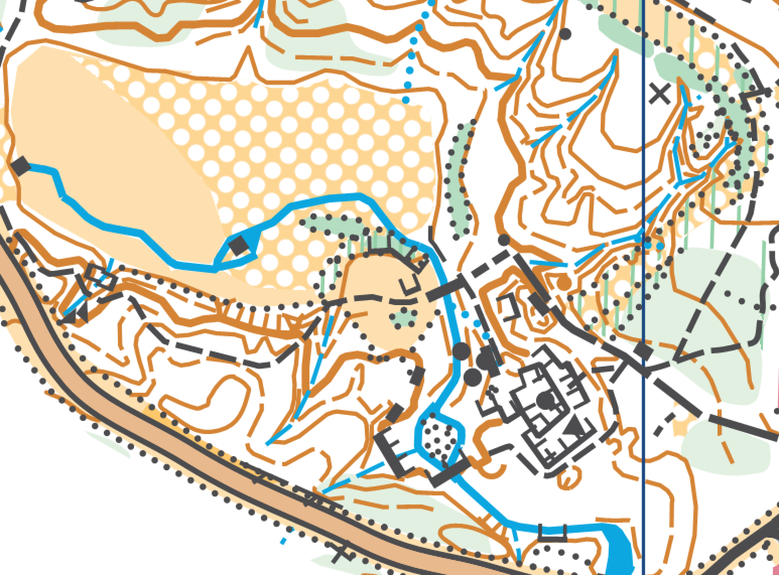
Camp Manatoc features wonderful terrain, with lots of reentrants, trails, and camp environment. Most, if not all, buildings are mapped, as are some of the benches on trails, etc. A few trails may be hard to see, but with little to no leaf coverage in the winter months, reading the terrain is a lot easier!
Areas that are marked as off-limits on the map must be respected. Some areas include firing ranges, and others have been marked as out-of-bounds by the course designer. Running on roads in out-of-bounds areas is not permitted. Do not climb tall fences, and stay out of private property or otherwise marked areas. Some water crossings may be required on courses above WHITE.
Water will be available on the course, but not necessarily at a specified control, rather along a common route choice or easy to locate intersection.
GREEN, RED, and BLUE will be longer distances (see below). It’s highly recommended that you bring the appropriate gear, and possibly your own water / food depending on your stamina.
NOTES FROM THE COURSE DESIGNER…
Reported by Andreas, 12/30/17
I went to do some last minute recon on control locations, and to mark most of the close-in-campus controls to aid with setting next week, and wanted to share what I found.
First of all, if the snow sticks, and temps stay below freezing, you’re in for a real treat! Camp Manatoc was so beautiful yesterday, serene in its quiet winter wonderland, with a few deer roaming freely. Traveling up and down reentrants was almost easier due to the frozen ground, and many of the creeks are frozen over. But…
Lots of patches of ice throughout, especially where water has run over trails, so watch for that. Carbide tips, or really aggressive trail running shoes are highly recommended. (I have some of these, and would recommend!)
Most of you will see / visit a beautiful place around the Minehaha water falls – they are frozen over – and it’s a real treat! I moved the control location for maximum beauty! Just be careful around the area, as it can be quite slippery. But it’s a snow-O, after all…
There’s one location, marked as a building (see below) that is somewhat surrounded by a frozen creek. Depending on your approach, it is possible to reach it with a safe, dry, passage. I found it easily yesterday. Cross the creek at your own risk, please, and keep in mind where you are on the course.
For YELLOW, ORANGE, and GREEN, you’ll approach from the dry, non-creek side, across a field / old lake bed, in a SE direction. For RED and BLUE, you’ll need to make a decision as to finding the dry approach, or risking a leap over a frozen creek, as you’ll approach in a NW direction.
The creek seemed very shallow, maybe less than 8 inches or so, so regardless, you’re not in for a swim! But in the lower temperatures, could put a damper on your run. The dry approach is slightly NW of the control as you approach on RED and BLUE.
Most of the trails are snowed over, and it snowed last night again, so some may be a bit trickier to find. Look for trail markers that Camp Manatoc uses, or look for open areas. Many legs on all courses mix technical orienting to the control, with stretches of open ground / trail running for your “keeping warm” pleasure!
Remember to layer your clothing, and dress for the weather. If you keep moving, at any pace, you’ll keep warm. It was 12F yesterday, with some wind, and I kept warm no problem. If you’re running hard, you’ll sweat. If you stop / slow down, you’ll get cold. Please review signs of hypothermia, here.
Keeping hydrated is key. There will be water throughout, and warm beverages at the registration / finish area. Check the map for water locations.
I can’t wait to see you next weekend! You’re in for an adventure, regardless! And, what better way to start the orienteering year on a course where contours are easy to read, the snow is crisp (I sure hope it lasts!), and the temperatures will keep you going? 😉
-Andreas
LOCATION & CONTACT
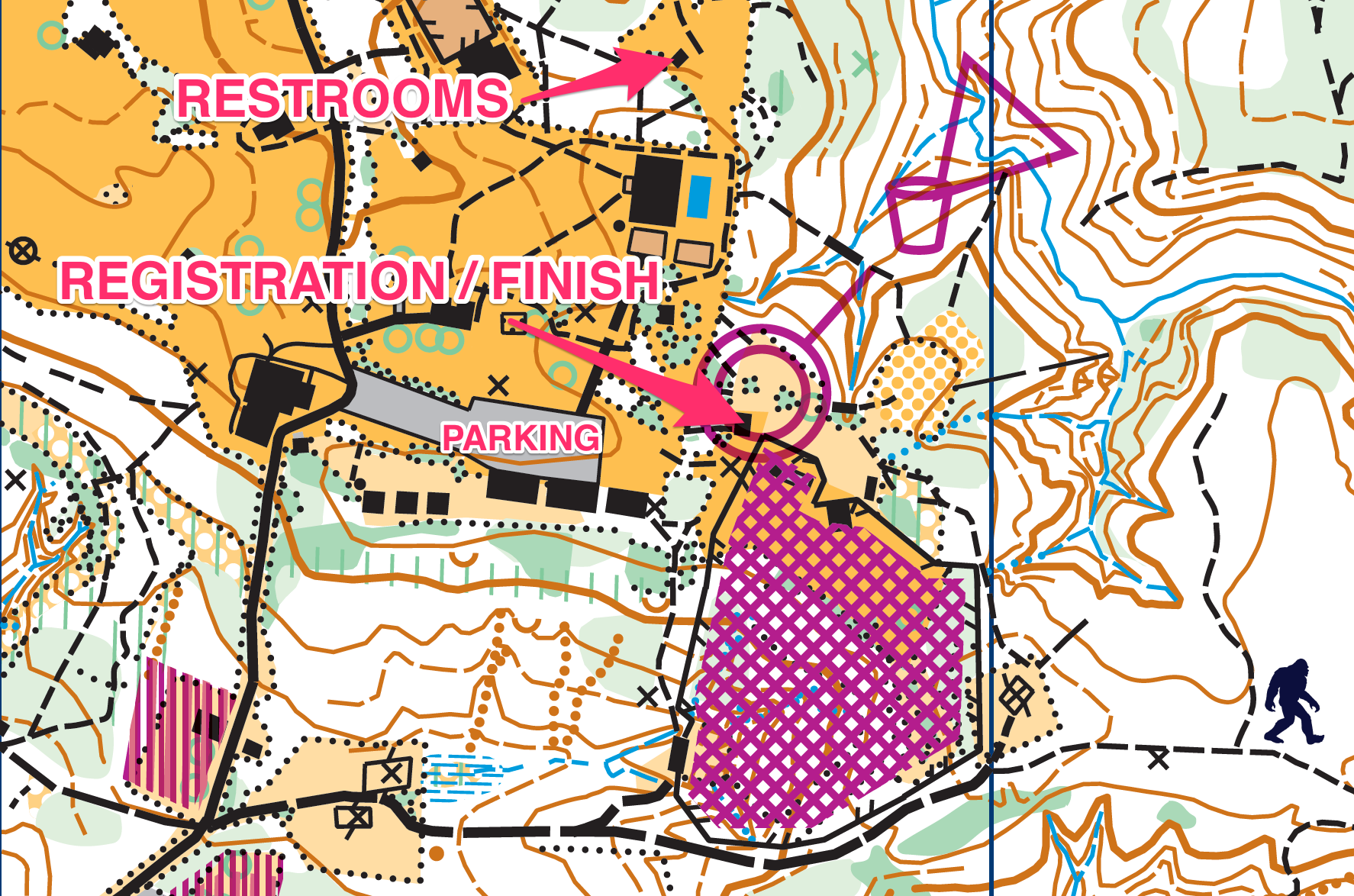
Camp Manatoc – Bittersweet Lodge (north off the main parking lot)
1075 Truxell Rd, Peninsula, OH 44264
Event Director – Andreas Johansson
andreas@neooc.com
Cell: (330) 328-1181
START LOCATION
The start location (the start triangle) is located a few hundred meters’ walk from the registration and parking area. Water will be available in the start area, as will most of the maps, depending on your selected course.
You will follow a taped route to the start location. Once in the start area, the starter will hand you your map, and associated clue sheets, and you will start in the next available slot for that course. You will travel a short distance to the actual start triangle that will be clearly marked.
FEES, ETC.
- NEOOC Members – $5 per person or team (1 map)
- Non-Members – $10 per person or team (1 map)
- Extra Map – $3
- Whistle – $2
Cash only at the event.
COURSES AVAILABLE
Beginner to advanced courses are available. GREEN, RED, and BLUE are advanced map reading / orienteering courses, and should not be attempted solely as a map hike. Multiple legs are far from trails, and distances are long. Distances below are as mapped, but as the crows flies. Typically, you should assume an addition of 25% distance, depending on your skill level. All courses except WHITE are e-punch.
A few maps for each course will be pre-printed, and handed out at the start location only to help prepare for national events. You may be asked to mark your own map, too. Maps will be on 8.5×11, in 1:10,000 scale.
- WHITE – Beginner, short, 1.9km, 10 controls, manual punch
- YELLOW – Intermediate beginner, 2.8km, 8 controls
- ORANGE – Intermediate,
4.4km3.9km,910 controls - GREEN – Advanced, shorter,
5.0km5.1km,1112 controls - RED – Advanced, long,
7.3km7.4km, 15 controls - BLUE, Advanced, even longer,
8.7km8.8km,1718 controls
“Why a BLUE course? I’ve never seen that before…”
Some folks like to go a little farther, that’s why… if you normally run GREEN or above, you should try it out if you want the challenge of longer distances.
VOLUNTEERS
- Event Director, Course Designer, Setter – Andreas Johansson
- Registrar – Guy Russ
- Timer / Starter – John Nazier & Troop