Courses are Closed!
** Update **
Course Notes
Control 130 (Orange, Red) – The clue sheet shows this to be at the bend in the reentrant. That is correct, but an additional clue is that it is atop the rim on the Northwest side of the reentrant. It will be advantageous to approach from that side of the reentrant.
——
Overview
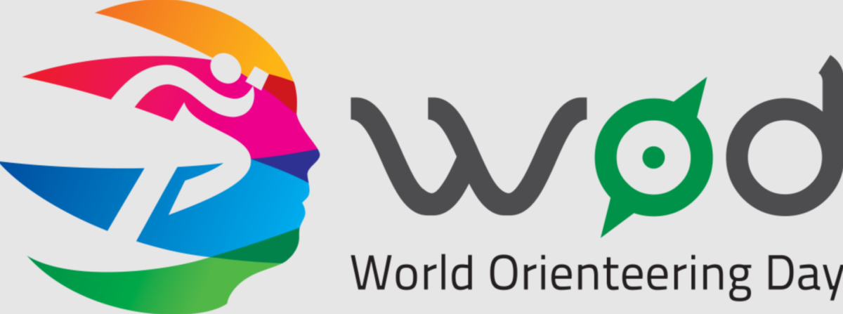
NEOOC, in partnership with the Cuyahoga Valley National Park, is pleased to offer a SURPRISE addition to our 2023 schedule, a self-serve event at Oak Hill Trailhead. Additionally, this event will be an official part of the worldwide celebration of Orienteering Day, 2023.
So come out and join your fellow orienteers in enjoying this additional event on your schedule, and be included in the reported participation for NEOOC and other US clubs in this global celebration of orienteering.
Similar to the previous events of this type, we will be using the iOrienteering app for electronic timing on your smart phone. We’ll also have all of the courses set up in Usynligo, for those who prefer a hands-free run. However, all of the courses can be enjoyed without the Tech, by logging the key words on the marker flags as a backup for the apps.
Also, we suggest starting a stopwatch or keep track of your own time by some means, so that you can manually enter your results if needed.
Details
- Place: Oak Hill Trailhead – Cuyahoga Valley National Park, off of Oak Hill Road
- Dates and Times: Run on your own schedule, Sunday, May 21 through Monday, May 29 – Dawn to Dusk.
- FULL SIZE control flags with iOrienteering QR codes will be in use.
- Livelox will also be active for this event. Sign in to the Livelox app on your smartphone to record your route directly to Livelox, or record it on your Garmin or other GPS tracker, and upload it to Livelox later.
PLEASE REVIEW THE WAIVER OF LIABILITY AND ASSUMPTION OF RISK BEFORE DOWNLOADING ANY COURSE MAP FROM THIS WEBPAGE. BY DOWNLOADING A MAP YOU ARE AGREEING TO THE TERMS OF THIS WAIVER AND ARE ABSOLVING NEOOC AND ORIENTEERING USA , ET AL OF LIABILITY RESULTING FROM YOUR PARTICIPATION IN THE ASSOCIATED ORIENTEERING ACTIVITY.
Park Usage and Guidelines
TELL SOMEONE WHAT YOU ARE DOING AND WHEN YOU EXPECT TO RETURN. SAFETY FIRST! (see Sanae’s location sharing idea below)
Since you will likely already be using your phone with the iO or Usynligo apps, please ALSO CONSIDER RECORDING YOUR ROUTE USING THE LIVELOX APP which can be running on your phone in the background. This sends your position to Livelox in real time so that you can be quickly found in an emergency situation.
Here are our thoughts and guidelines for these Classic-O courses:
-
- Do this as individuals only or in your cohort. As part of your essential exercise program, while maintaining social distancing.
- For these Classic-O courses, the idea is to find them in the specified order (Start -> 1 -> 2 -> … -> Finish).
- But plan a specific amount of time for your course. Find as many control flags-markers as you can, in the time that you have planned. It can be one hour or up to three hours. It’s up to you.
- If you are having trouble finding a particular control flag, skip it. No problem.
- Have fun and get some exercise. Do not over do it. Know your limits. Consult your Healthcare provider for guidance as needed.
- Time limit of 3 hours. Once the clock starts, it keeps going, no time off for breaks. Come back well before dark.
- Low Tech method: Time yourself and record the Key word from each control flag-marker you find. Use the sheet included on the map addendum. Then self report your results using link in the Reporting your Personal Results section below.
- OR High Tech method: use either the iOrienteering or UsynligO Phone App to record the control flags found. See Smart Phone Apps section below.
- No water stations have been provided on the courses. Participants will need to bring their own supply of water!
- Please respect private property, and areas within the park that CVNP has designated as off limits. Stay within the park boundaries and outside of the out-of-bounds areas as shown on the map. Thank you.
Pack a lunch, snacks, and plenty of water. Make a day of it. Email questions to contact@neooc.com.
Fee for Self-serve Event
- Did you know that even though this is a self-serve event, the club has to pay a fee for each start to the national O-USA organization for insurance? Also, we have to pay a facility / permitting fee for the club’s use of the particular park.
- For Club Members, please pay $11 for each group or individual participating via PayPal (1 to 6 people):
Courses Closed! - For non-members pay $16 for the same:
Courses Closed!
Pay one of the above fees for the use of any or all of the Maps listed in the Courses and Maps section below, use by that paying individual or group. And you can:
- Become a NEOOC member on our Membership page
- Or Donate to our map fund at the bottom of the same page
Courses and Maps
The map used for these courses is a 1 : 10,000 scale Orienteering map and was created by NEOOC’s Bob Boltz.
Three courses will be available, comprised of new combinations of control locations that were used in the hosted event on May 20. Download as many courses as you plan to run, using the links below:
Courses are Closed!
- Yellow SS – Beginner level – 2.6 km long, 55 m climb, 9 controls
- QR code on map addendum, or course short code 7LO6Ig
- Orange SS – Intermediate level – 4.2 km long, 140 m climb, 13 controls
- QR code on map addendum, or course short code 8X7div
- Red SS – Advanced level – 6.9 km long, 235 m climb, 15 controls
- QR code on map addendum, or course short code 3vKJim
Start and Finish for all courses will be at the lone tree in the open area on the South side of the parking lot
Along with the map page, each download includes a map addendum with a legend, clue sheet with space to record control key words (optional) and some information about the recording options that are available.
Smart Phone Apps
Automated, electronic scoring will be done using the iOrienteering or Usynligo apps that we have used in the past.
- You can choose to manually scan the QR code on the Start, Finish and control flags to register a “punch” using the iOrienteering app on your smartphone.
- Use this link on your computer to set up your free account and get more information about iOrienteering
- Use this link on your Android smartphone to download and install the iOrienteering app
- Use this link on your Apple smartphone to download and install the iOrienteering app
- To use the iOrienteering app, once you have selected the course that you will be running and have downloaded the map and addendum, you will need to load the course details to your phone. You can do this either by entering the 6-character course short code (this requires a good internet connection), OR by scanning the QR setup code. Both are printed on your map addendum.
- You can choose to use your smartphone’s GPS-based location services along with the Usynligo app to register a “punch” based on proximity (within 5m or so) to the control for a “hands-free” run.
- Use this link on your computer to set up your free account and get more information about iOrienteering
- Use this link on your Android smartphone to download and install the iOrienteering app
- Use this link on your Apple smartphone to download and install the iOrienteering app
- To use the Usynligo app, follow the directions on your map addendum.
If you have any questions, or experience any issues that we can help with, drop an email to mike@neooc.com.
Reporting your Personal Results
NEOOC has setup a webpage to self report your results:
Your results will be added to the Results list below once we have transferred the information properly. It may take a little while. This is completely on the honor system. Have fun!
Or send an email to mike@neooc.com or fred@neooc.com indicating your team name, course, number of controls found and total time.
If you used the iOrienteering App, just upload when you are finished and we will process your results into the Results list below. But if you would like to submit your own, with a different name and/or more detailed comments, go ahead! We will replace our entry with yours in such a case, as soon as we can.
We encourage you to report your results, even if you did not get all of the controls! (Just enter your team name, the number of controls found, and approximate time taken on the webpage. Easy!)
Seeing the Overall Results
LiveLox Route Replay (Replays active after the event concludes at 7:00 pm on 5/29)
Note that you can upload your GPS file on LiveLox and see your route in comparison to others. Use the Event “hamburger” near the top left side. And click “Add Route”. You must be logged into your LiveLox account, then you can upload.
Location
Oak Hill Trailhead, 3901 Oak Hill Road, Peninsula, OH 44264
Sanae’s location sharing idea:
I found neat function in Google Map. It’s called “location sharing”. You can turn the function on with your family or friend and let them know you will be in the woods and approx. how long, or by when you will be back.
If something happens on you, they will know your location and call rescue or come find you ☺