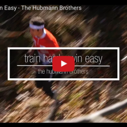
Daniel and Martin Hubmann – the two world orienteering championships medallists!


Daniel and Martin Hubmann – the two world orienteering championships medallists!

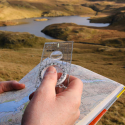
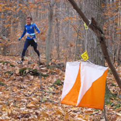
Looking for a challenging and fun outdoor activity? Try Orienteering! Join Stark Parks for an introduction to this family of sports requiring the use of a map and compass to navigate from point to point through a variety of diverse and unfamiliar terrains. We’ll cover navigational techniques, orienteering lingo, and introduce you to ways in which you can participate in this fun, family friendly activity.

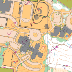
Join us to learn more about the sport of orienteering, and learn how to use a map and compass to navigate around the campus, while getting some exercise. We’ll provide instruction and guidance, and have all levels of courses available, from white to red. Map Included / compass for loan. NOTE!!! Don’t need instruction? No worries – come run the sprint courses on this beautiful campus, where plenty of challenges await even the most experienced orienteer!

There are a few events directly geared for scouts this year – the Merit Badge Workshop on March 12, and the Orienteering Championships in September (17+18). Here’s more information about both.

Join this class to begin working on your orienteering merit badge requirements for Scouts. Please note – the orienteering merit badge cannot be completed in one day – Scouts will have the opportunity to complete most of the requirements. The most practical way to complete the rest of the requirements is to participate in future NEOOC events. Of course, scouts and troops can also complete the requirements on their own. Pre-registration is REQUIRED!

2016 is here, and we’re ready with a host of orienteering events. See the entire event schedule for the year below, in various formats. Feel free to print out and distribute both the schedule and general orienteering flyer (all in PDF format below) to friends and family. We look forward to seeing you in the woods soon!

Orienteering mapping and course design clinic that will focus on both theory and application of course design, the practical and technical aspects of designing courses using software, and setting courses. For experienced orienteers only. Bring your own laptop if desired, but workshop will start in a computer lab with the software already loaded. Click on the post for more information, and to register. Registration required!

Time to renew that membership, or sign up for a new one! We’d love for you to join us on a regular basis, and membership helps us hold events throughout the season. Sign up today using the attached membership form. Send in your dues to the address listed on the membership form.

A little orienteering humor – we’ve all felt this way, right?

January 16 – 17: Georgia Navigator Cub (GAOC – Gainesville, GA; event website)* March 11 -13: United States and North American Ski Orienteering Championships (GMOC – Presque Isle, ME; info here) March 18 – 20: United States Individual Orienteering Championships (BAOC – Pleasanton, CA; info here)* April 1 – 3: US Interscholastic and Intercollegiate Champs […]